
Highway 1A
Highway 1A, also known as National Route 1A, remains a vital artery in Vietnam's transportation network. Starting at km 0 at the Huu Nghi Quan (Friendship border gate) along the Vietnam-China border, it stretches to km 2301 + 340m in Nam Can town, Ca Mau province.
This highway is often referred to as "the spine" of Vietnam, traversing 32 provinces from Lang Son to Ca Mau. It connects major cities including Hanoi, Hue, Da Nang, Nha Trang, and Ho Chi Minh City. The total length of Highway 1A is 2,301.340 km, making it one of the primary transportation routes in the country. The highway varies in width from 10 to 12 meters and has 2 to 4 lanes, which accommodates container carriers and large trucks effectively.
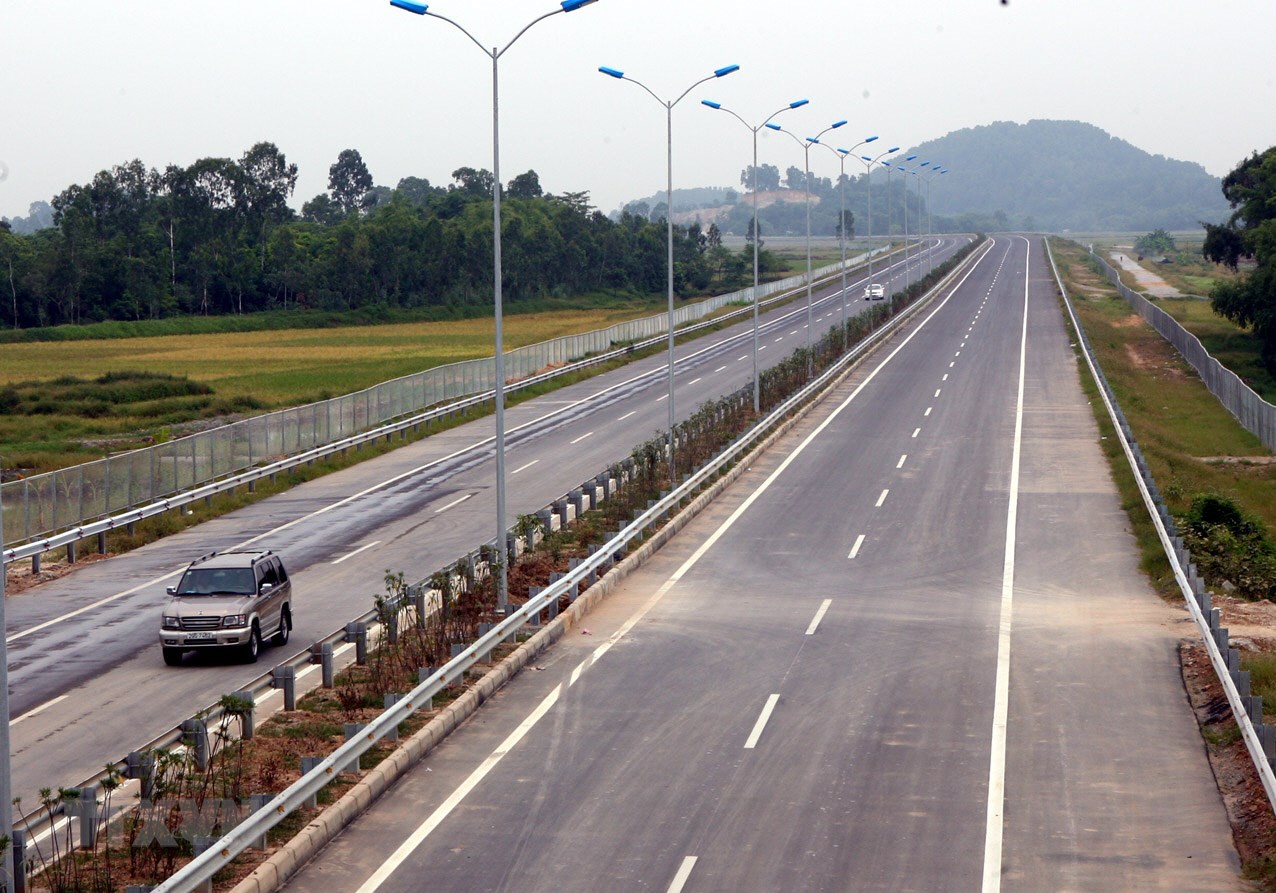 Photo : baolangson.vn
Highway 1A features 874 bridges, each capable of supporting a weight limit of 25-30 tons. Notable upgrades have been made on segments of the highway, particularly the Hanoi - Ninh Binh section in the north, the Da Nang - Quang Ngai stretch in the center, and the Trung Luong - Ho Chi Minh City area in the south. These improvements have significantly enhanced travel efficiency and safety for users.
To further facilitate traffic flow, Vietnam has developed supporting routes alongside Highway 1A. These include Highway 1B, connecting Dong Dang town to Thai Nguyen city; Highway 1C, linking Nha Trang city with Highway 1A; and Highway 1D, designed to circumvent the Cu Mong pass, connecting Quy Nhon city with Phu Yen province. These enhancements reflect Vietnam's commitment to improving its transport infrastructure to support economic growth and connectivity.
Highways
Since road travel is still the most popular means of transportation in Vietnam, the highway system plays a crucial role.


